
You start from Pietralunga, more exactly from Piazza VII May, go along via Roma for the whole length as far as the crossroads where you take the municipal road to Salceto Lame, with a good road surface in spite of being a bit narrow. After about 3 km from the crossroads, on the left side of the curve there is an intersection with a dirt uphill road, after turning you follow the sign in the direction of San Pietro. After 300 m you come to a fork where you turn right and go straight on, you follow the directions of the CAI path 120 and immediately after you take the path 119 b in the direction of Monte Castellaccio. You go through a thick pine forest until you come to a grassland that offers a great panoramic view on Monte Nerone to the right and of the Carpina Valley to the left.
At the intersection with the unpaved road you continue on the left towards “ Vocabolo Caimoni”, ruins of the imposing building, that give the name to the place. It can be seen from the next bend on the right. The route continues to climb until you reach the intersection with another unpaved road, here you continue to the right. From here the road becomes narrower, the view on the Umbria-Marche Apennines broadens and after about 800 you see the beautiful private countryhouse of Castelvecchio. You continue straight on, the building is on your right, you start going downhill and you find yourself opposite another farmhouse. You continue straight on after other 800 m from you come to a junction where you turn right starting to descend again. From here the road is at times damaged and uneven.
You continue along the main road that becomes paved, you meet the first group of buildings called Casaricca and, soon after, you meet another built up area called Loretuccio until you reach the hamlet of Caicivitella.
Soon after you proceed left in the direction of Morena, you start descending and then you climb up to the bridge
Here you enter the territory of the municipality of Gubbio, more precisely you cross the hamlet of Morena, where the paved road ends and becomes gravelled at the height of the last building. You continue straight to the fork, on the left you see the House “ Gran Noce” and continue keeping right. Beware, as in this section of road there may be unleashed dogs guarding the grasslands, the area is fenced off with warning signs prominently displayed. You continue straight on the main road climbing up to 800 m a.s.l, then you go downhill, from there, on the left, you will see many scattered buildings and small built up areas throughout the countryside, with Monte Catria in the background. You continue keeping right at the next two crossroads, then you come to an intersection, before a built up area of “Salia” on the left.
From here you take a narrower road that goes up, you continue straight even if immediately after you see two dirt roads on the right. In this section of about 2 km you cross a dense forest, this stretch is cool and shady. From 710 m a.s.l you get to 820 m and, shortly after passing the peak of this stretch of the route, the road overlaps with “ Franceco’s way”. You can notice the first yellow-blue route signs on the left side of the road, along the first u-bend you meet while going down. You proceed downhill in the opposite direction of the arrows, along the dirt road while you can Monte Nerone on the right and enjoy the beautiful view of the imposing Castle of San Benedetto Vecchio opposite you.
There is a small artificial lake on the left, soon after the road winds between two ruins, it continues to go down and at times is a bit uneven owing to the water crossings. Then you arrive at an intersection with county road SP 205, where you turn right towards San Benedetto Vecchio; you starts climbing up to the fork with the county road SP 204.
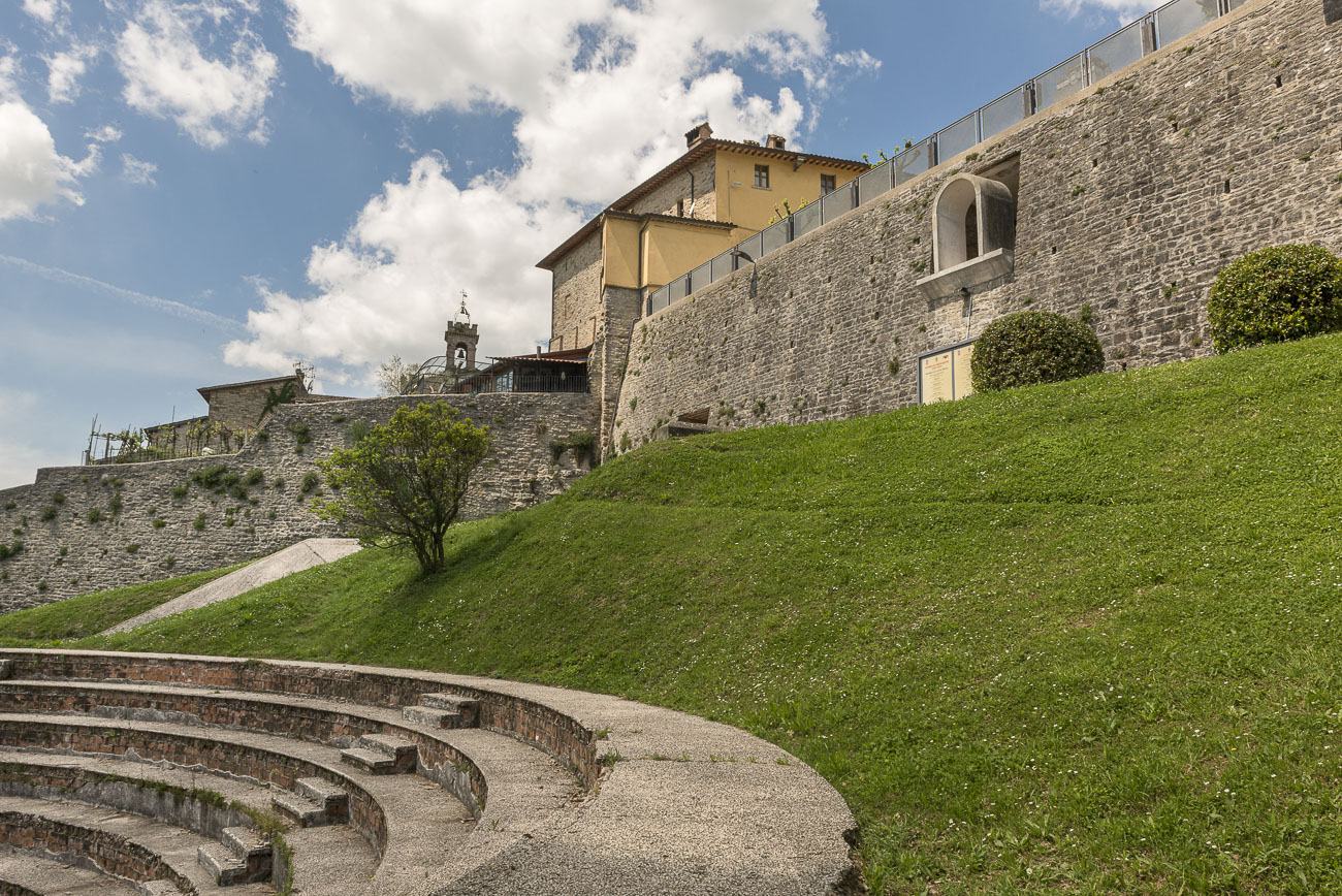
Once you arrive at the “pinetina” (small wood), that acts as a traffic island, turn right in direction of Pietralunga, the you descend along the hairpin bends of the Palazzetto to the junction, where you turn left and take via Roma to return to the departure point
|
Period: All year round, except for winter months |
Condition signposting: Trail signposted white/red painted arrows. Status maintance: Length: 35 KM Difference: 450 m Duration: 2h 45 Download PDF Download GPX Download KML Download KMZ |